
The important notes.
The analysis provided has been based on Aerial LiDAR (Laser scanning). The density of the points is sufficient for its purpose: large scale mapping projects. The lidar is from 2011 and the imagery is from 2014. This design is based on holding approximately the same footprint of the pad with a 10’ buffer around the panels for access and a 1:1 slope (consultation with a geotechnical engineer will be needed). To minimize the sight of the solar array from the Jesus property trees of approximately 10-12’ will be needed.
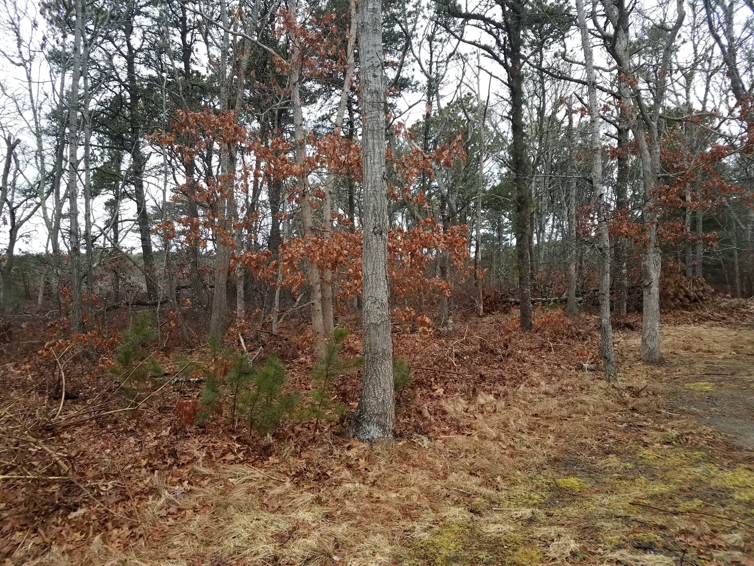
The woodland buffer consists primarily of oak and pine. The Tornado had an impact and the lower levels consist of several fallen pines. While there is some screening value from this vegetation, in the winter months it provides little blockage.


Without considering vegetation, what could the Jesus family see from the second story of their home? The yellow represents the visible ground from the home. The neighboring buildings were not modeled and therefore the sightlines pass right through. The northerly buffer includes two areas that were excavated to the property line. It is unclear if the intention is to remediate this area when the site is regraded.

At the top of the bank, there is an 10-12 foot range for what can be seen. The following image is a 3-foot berm with the tops of 7’ dense vegetation. The analysis only included a buffer for a portion of the section. It is not known how the applicant plans to remediate the northerly border of the property where the pit has extended. Additional plantings will be needed to minimize the sight impact.

The proposal allows for 18 half arrays and 361 full arrays for a total of 370 arrays. One of the previous plans prepared for the applicant included two half arrays which provides justification for proposing the same here. The bioretention basin was relocated to the southeast corner of the pad for the array. The panels were held more than 100’ from the easterly abutters. A ten foot buffer from the panels to the slope was held for access.
This provides 78 foot buffer from the Jesus property to the top of the steep slope. Placing a 2:1 berm on top of the slope results in a 68 foot buffer from the Jesus property to the disturbance.
It is recommended that the berm be constructed early in the process. The east side should be covered with a shade tolerant native ground cover, ie lowbush blueberry planted in sod form. The west side should be planted with a sun tolerant native ground cover, ie bearberry. The entire bern should be seeded with a handful of native grasses, both sun and shade tolerant. A dripline irrigation system should be employed to ensure the plants thrive.