BACK TO FUGRO

Now we have some data to load. Drag and drop the LAZ file into Fugro.

So grainy and so large an area. Let’s download a smaller data set.

It is still grainy and hard to see. Go to settings and change the point size to 5. Now you can see the Elevation: Blue to Red.

Elevation by Earth Tones

Classification is not great on default.

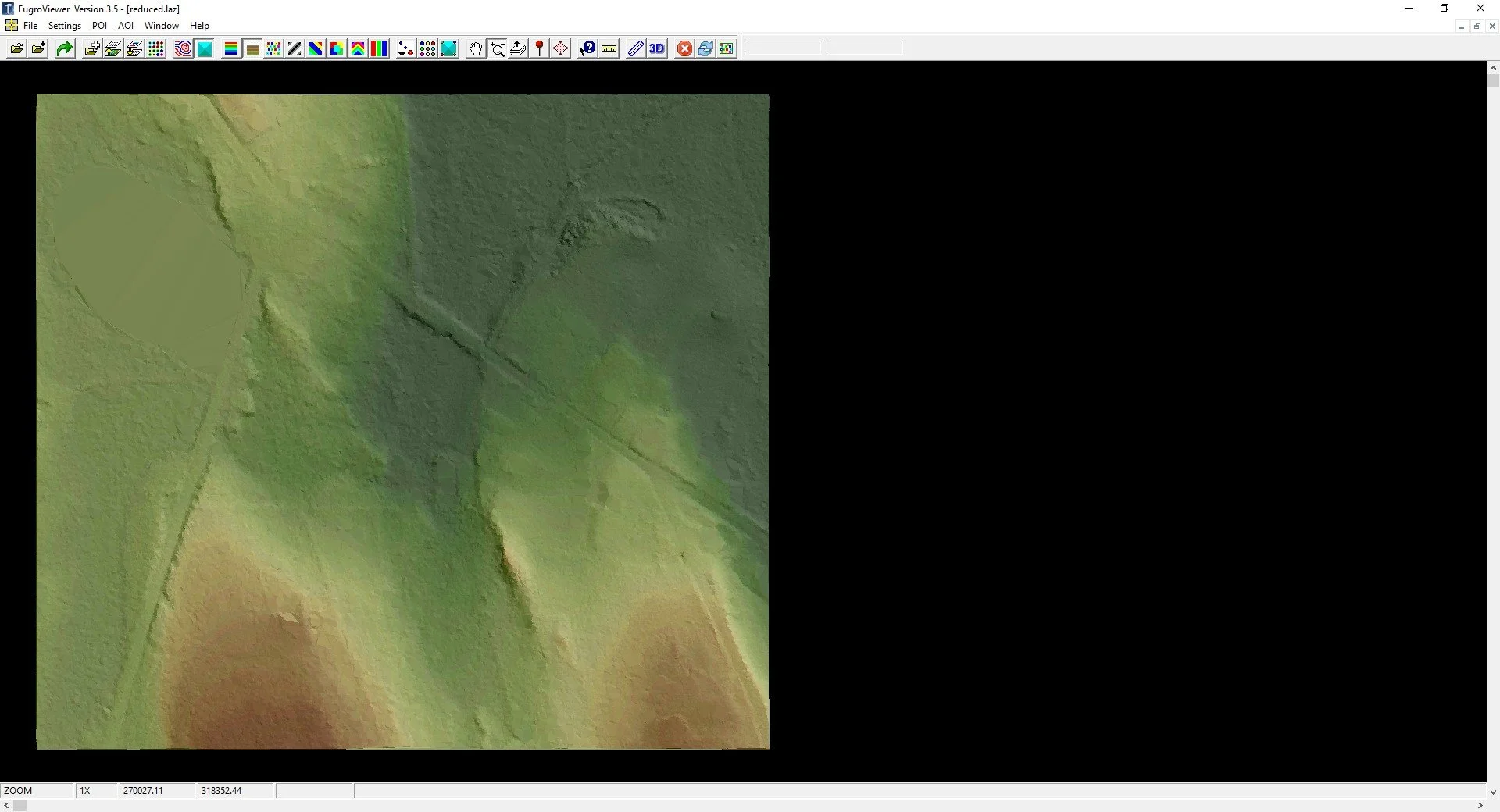
Classification: In other programs, mathematical algorithms are employed to best guess different classes: Ground, Buildings, Water, Vegetation (Low, Medium, Tall), Utilities, Noise and many more to come. In the earlier data sets you will find fewer but as things progress we will see more.

So, we turn off some of the classifications and change the colors of the ones left on using Point Display Settings.

Intensity: The reflectivity of an object can be captured by a scanner. You can make out some objects.

There are some other options that can be reviewed. The source ID and File ID compare the sources of the data. The RGB requires colorizing the cloud with some form of imagery.

Return: The lasers have width and will partially reflect off edges. Take a laser shot at the edge of a building. The first return will be from the building and the second will be from the deck. Now take a laser shot through a tree. There could be a dozen returns.
Looking back at the Classification, every ground point has to be the last return of a laser shot. Crowns of trees have to be the first return.

Point Display Settings: This allows you to change the visualization and toggle the classified points. Click on Bare Earth to only select ground and Model Key Points.

Click on the Display Color Shaded Tin button. This is a larger area.

As you search you will start to find more deviations.

Let’s go to the smaller area.

By the way, these potential walls are in the deep, dark woods.

There’s a 3d viewer option which will help to confirm that these are likely walls. So let’s trace them, use the AOI Polygon Tool.

Under the AOI menu, you can save the AOIs at Shapefiles, SHP. I used another program to convert the SHP to a Google Earth File:

You can also visualize the contours - though these are the traditional fuzzy LiDAR contours.

Why are they fuzzy? It’s a combination of the vertical error and the sample spacing. Are all the ground points truly ground points?
The vertical is about +/- 3” with a horizontal of +/- 3’. The spacing between the ground points is about 3’ plus.
This dataset does not replace a survey, but future datasets will. The 2021 Eastern Massachusetts LiDAR is 3.7cm vertical and 11 cm horizontal. Not bad for acquisition from 4,000 feet.

There are a number of other settings to modify. These can help in your search.