
Town of Chatham Parcel Layer - updated 05-26-2017
Town of Chatham Parcel Layer - updated 05-26-2017
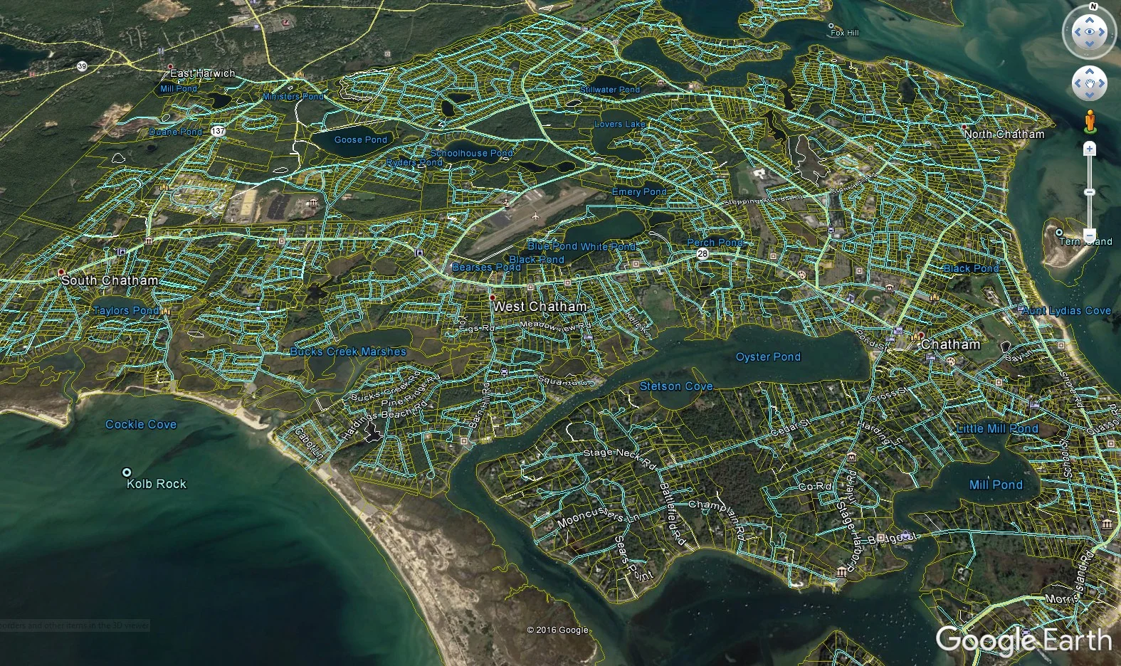
The file is originally based on the 2012 revision of the Town of Chatham Parcel Layer in KMZ format for use in Google Earth. The Parcels are approximate and are for planning purposes only.
Specific properties have been recalculated based on the record plans and GPS observations. These are near or at survey quality property lines. These are still being certified as approximate and for planning only as the underlying imagery cannot be certified.
Please contact ESE-LLC if you wish for another property to be updated to the more accurate locations.
The files are intended for one user. Please do not distribute the same without the express written authorization of Eldredge Surveying & Engineering, LLC.
The linework shown was originally obtained from the Office ofGeographic Information (MassGIS),Commonwealth of Massachusetts,MassIT. The preparer has modified portions of the GIS layer. This data is approximate, please use it accordingly. The file is subject to copyright laws and shall only be redistributed with the written consent of Eldredge Surveying & Engineering, LLC.